Buffer Zone Querying
This feature in the Advanced GIS tool is used to select a point on a map and display any type of data within a given radius. In addition, the tool is easily navigable through a Mini Map, Navigation Bar and Intelligent Search Tools.
To be able to create a buffer zone to view data for, select
the ![]() button, and then
select the region on the map to highlight. The selected area will
be activated while the rest of the screen will be disabled (Figure:
Buffer Zone Querying). This tool may be useful for presentations
on screenshots to mark the selected area on the map.
button, and then
select the region on the map to highlight. The selected area will
be activated while the rest of the screen will be disabled (Figure:
Buffer Zone Querying). This tool may be useful for presentations
on screenshots to mark the selected area on the map.
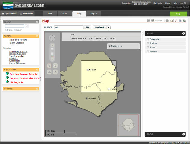 |
Figure: Buffer Zone Querying |